
I had a wonderful three days in Edinburgh attending the most recent FOSS4G UK 2019 conference, based at Dynamic Earth in Edinburgh. Edinburgh has never had better weather, and I was assured by the locals that this was not normal! FOSS4G conferences have a special vibe to them that makes them unique to any other sort of conference. Various people have already written about that vibe, much more eloquently that I can.
There was a great selection of workshops and talks, and I ended up attending primarily workshops, which is a first for me. I have a particular interest in collecting data in the field, and so went to the workshops in QField and Input; both mobile phone apps to provide an interface to collect data on your phone, and then synchronise this back with a QGIS project when you get back to the office.
The wonderful Kirsten Reilly from ThinkWhere hosted the workshop on QField, explaining how we could setup a project in QGIS, synchronise this with the app to go out into the field. We had some of the usual technical issues, but nothing unusual for a practical session.
I also attended the Input workshop, run by the skilled Saber Razmjooei of Lutra Consulting. Lutra have developed Input as a alternative to QField, re-creating the app from scratch, and ensuring that Input can be operated on iPhones as well (QField is currently Android only). There are a lot of similarities between the programs, with QField being a bit more developed (i.e. less buggy) but Input having a cleaner interface and slightly more features. We actually also got to go outside and test the app out, which was great. My phone (a Fairphone 2) was actually not very happy with either app and my experience wasn’t flawless (but your mileage may vary, as they say).
The key differences are:
- QField only works on Andriod, Input works on Andriod and iOS.
- QField uses a cable to transfer files from your computer to the phone and back, Input uses the cloud (a website called Mergin, developed by Lutra) to manage the synchronisation process.
- One key feature that Input has (which QField lacks) is the ability to record tracks (or lines) logging the route you took, where as QField can only record points.
- QField is relatively mature whereas Input is very new.
Overall I would say that Input just edged ahead of QField. If you are looking to use these in the field, try out both!
One great talk was from Mike Spencer, discussing the pros and cons of using R or QGIS for cartography. There are so many options out there, and his talk gave some great examples of amazing outputs from R and QGIS. There was a whole slew of talks that I would have liked to have attended, but couldn’t because things clashed. Fortunately all of the talks at FOSS4G UK 2019 were live streamed and recorded, which allows anyone to experience the conference.
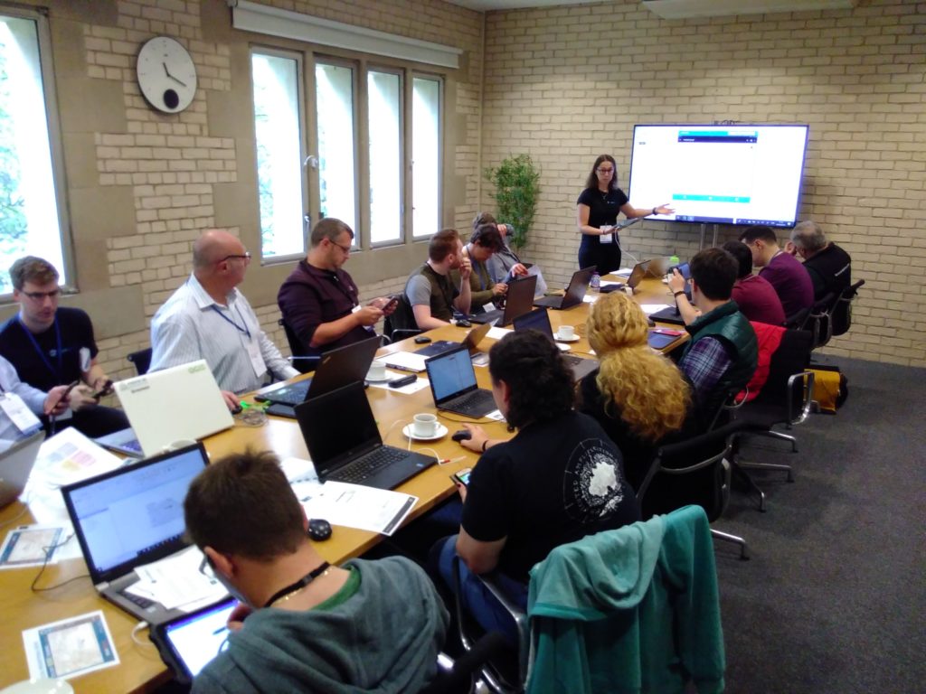
I led a workshop on contributing to QGIS documentation, which was very well received with 10 participants. Contributing to documentation is a key element of open source software and is something that often gets neglected. We covered how QGIS documentation is structured, how to work with GitHub to make changes on the web, and how to work with documentation locally. The workshop was only 90 minutes long, so we didn’t have time to actually make any changes to the QGIS Documentation, but we did have great fun experimenting with the example repository I made for it. Thanks to denelius, Nikosvav, mikerspencer, SteveLowman, myquest87, hopkina, cearban and TBreure for attending and getting involved.
At the Community Sprint on Sat 21st, a group of 9 of us had a go at a variety of coding and documentation issues. I led a group of three experimenting with a number of QGIS Documentation issues. We all had a deep dive into GitHub and learnt a lot! We fixed a range of issues from unclear documentation to new features in the QGIS Master that needed to be added into the documentation. These included:
- Explain the new Reselect tool: https://github.com/qgis/QGIS-Documentation/pull/4253 (merged)
- Updating code example in PYQGIS Developor Cookbook https://github.com/qgis/QGIS-Documentation/pull/4251 (merged)
- Add fit segment size explanation https://github.com/qgis/QGIS-Documentation/pull/4250 (merged in PR below)
- Clarifying text in Map Composer window for new grid options https://github.com/qgis/QGIS-Documentation/pull/4252 (merged)
The organising committee put together a great conference and captured the unique feeling of a FOSS4G conference. Many thanks to all of them, and they even created a Lego video to celebrate the amazing conference. FOSS4G conferences happen all across the world, so keep your eyes open for one near you in the future!
Also posted with xyHt at
https://www.xyht.com/spatial-itgis/foss4g-uk-2019/.