The 27th May to 2nd June is National Map Reading Week, created by the Ordnance Survey to promote maps, mapping and all things to do with space! There has been a great selection of coverage across the internet – one of my favourite was a ‘map-folding’ competition featuring the Calder Valley Mountain Rescue Team, setting the bar at 8.16 seconds!
When we say ‘maps’ people are often talking about the paper based product, I would argue that reading a digital map is as an equally important skill. Navigation is always something that has been vital to humans, and now that we travel further than ever before, knowing where we are going is vital!
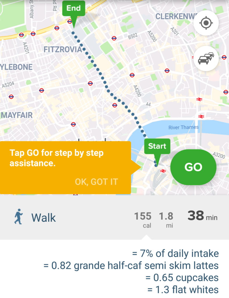
For on-phone sat nav, Google Maps may be the go-to choice for many and works very well. It certainly works well for me in the car when required! However, for public transport in London in my opinion, you can’t beat CityMapper. It gives you a huge range of flexibility of different methods (walk, bike, public transport) and also gives you costs which is very handy. They also have a good sense of humour, showing how many calories a walk or cycle will use up and how many cupcakes that is!
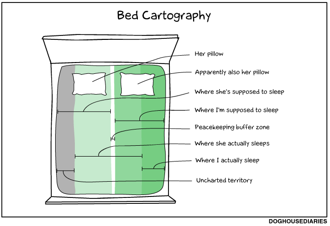
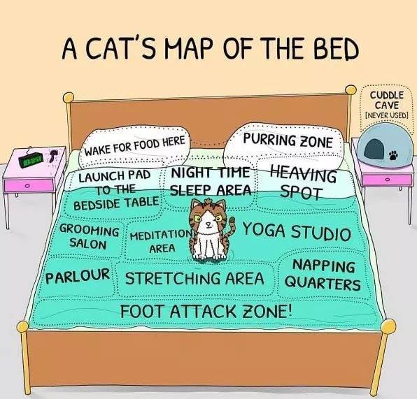
This is also a nice excuse to mention two other map related things: bed cartography for a) humans and b) cats!
https://www.facebook.com/weloveallthecats/photos/a.577358232351406/2200795980007615/?type=3&theater
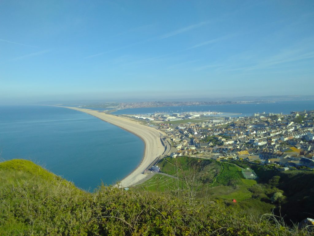
Finally, just to say this is a great time to get out there (with or without a map) and enjoy the scenery!