
Over three days in January, Nick ran a series of one day GIS training sessions for the ADRC-E at the University of Southampton. The courses covered a whole range of GIS skills including understanding spatial data, finding GIS data, working with QGIS & R, and spatial analysis in GeoDa & R. The course participants came from a wide variety of backgrounds including PhD students; academics; health; economics; business intelligence and national statistics.
As well as plotting data on a map, the courses also covered more advanced spatial analysis, looking at buffers, spatial overlays, spatial decision making and spatial statistics. This allowed participants to get the most from their spatial data and use it in their future work.
GIS is a fantastic tool and something that can be applied in many different settings. Nick’s up-to-date knowledge and experience provides course attendees with the know-how needed to evaluate their own data, to create maps and perform the analysis within their workplace.
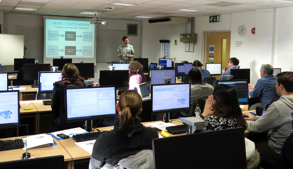
Photo credit: ADRC-E
“I enjoyed the focus on practical exercises – very useful! Excellent content for intro course.” course attendee, Introduction to QGIS: Understanding and Presenting Spatial Data, 15th January 2018.
We run courses across the UK, our training page provides details of our upcoming courses. If one-to-one GIS training would be useful for you or members of staff in your organisation, please have a look at our brochure or get in touch to find out more about our tailored courses for all skill levels.