I’ve formally joined Clear Mapping Co, moving from academia to the commercial world. Below is a copy of their most recent blog post.
 We are pleased to announce that Dr Nick Bearman has formally joined Clear Mapping Co as Senior GIS Analyst and Course Director. Nick joins us at a key point in the company’s development in our fifth year, as we continue to expand into international markets with our unique offer of cartographic design consultancy. Nick is continuing to work on cartographic projects, whilst also developing our new range of GIS Training Courses, available at different universities around the country.
He brings a wealth of experience having lectured and researched at University of Liverpool for nearly three years. We are really pleased to welcome him on board and hope you’ll get to meet him at future events.
Q1. What brings you to Cornwall?
My wife and her family live in Cornwall, so was keen to get back to Cornwall after lecturing and researching in Liverpool for nearly 3 years. I’ve always wanted to explore options outside academia and experience a different set of challenges. Clear Mapping Company was a perfect opportunity for me, both in terms of applying and developing my skills, as well as spearheading their GIS training development.
Q2. Where did you study?
Studied at Leicester and UEA (Norwich) Universities and enjoyed everything about it. At school I really enjoyed geography and computer science and when I discovered the Geographic Information Systems (GIS), it was the ideal combination of the two! I still have connections with Leicester and UEA as well as Exeter and Bristol in the south west, but I’ll be pleased to be based in Cornwall.
Q3. What areas of GIS do you work with?
GIS is such a broad area that it is tricky to pin down exactly which areas I work in, and my recent projects have involved UK Census data (going back to 1971), transport routing analysis (using OpenStreetMap data) and web GIS (using the Google Maps API, among others). I use a range of different tools and techniques, depending on which is most appropriate for the project.
Q4. What do you find exciting about working in an international cartographic design consultancy?
Have been working with Caroline & Kirstin at Clear Mapping Co for the past five months and really enjoying it. I’ve been involved in a wide variety of projects, including campsite maps, 3D battlefield education maps and phase 1 ecology studies. The company is growing and we recently advertised for a Senior Graphic Designer. I have a significant input into the direction the company takes, which is both exciting and scary! We are also based in a beautiful location in Penryn, Cornwall with a lovely view looking out on to the Penryn river! Cornwall has some spectacular scenery and we’re really fortunate to have Cornwall as our base.
Q5. What do you regret about moving away from academia?
Leaving academia after spending many years studying & teaching does make me feel a little sad, but also excited to be working in a very different environment will all sorts of different opportunities and challenges. While there are quite a few differences, one thing that has slightly surprised me is the number of similarities.
In academia, particularly as a GIS specialist, I often had to liaise between different members of staff who wanted to perform some GIS analysis on their project, and explain what GIS could do and equally make it clear what GIS could not do. This was particularly important when I was working in interdisciplinary groups, ensuring we were all speaking the same language, particularly when using terms like rate analysis, difference and spatial scale. This is equally important in a commercial setting, as often the client doesn’t know exactly what they want and what can (or cannot) be done.
One of the biggest differences I have found is the time scales – in academia we are used to planning 6 months, 1 or 2 years ahead (REF2020 anyone?!) whereas in commercial work what we do changes on a weekly, daily or even hourly basis. New projects come in and often have to be dealt with immediately, and sometimes can be out the door the same day or the next day. Getting to grips with this has been one of the hardest things for me so far, but I am getting used to it!
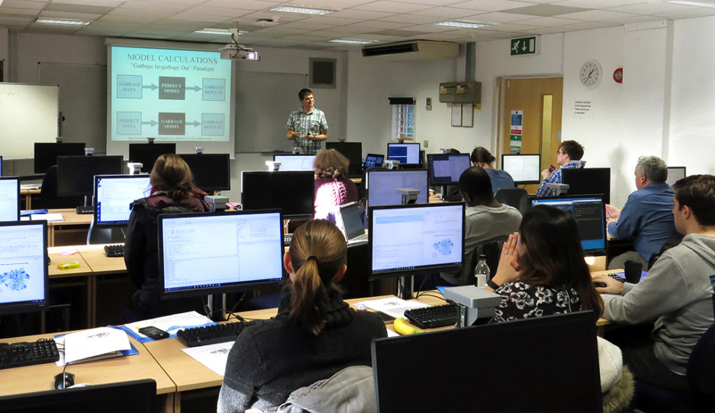
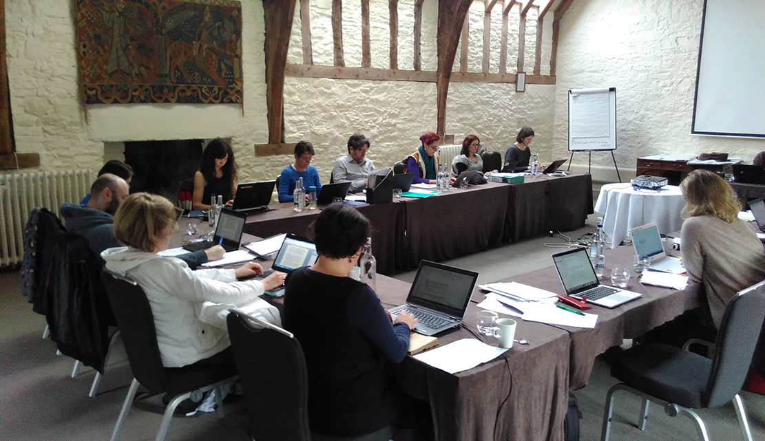
Q6. Why does GIS Training give you a buzz?
I really enjoy teaching people about the power of GIS and to show them how it can be useful for their work. That ‘moment’ where people who haven’t used spatial data before see what it can do for them is amazing. Often many people on my courses have come across or used GIS before, but they don’t understand how to get the most from it. It’s really amazing to get them to use GIS on a regular basis, and can make a real difference to their work.
Q7. Who in the sector would you like to meet? And what would you say if you met them?
Would love to meet the development team of Google Earth (originally Keyhole, Inc.) and whoever in Google decided to buy and make Google Earth available across the planet. The public release of Google Earth completely transformed the public’s perception and understanding of spatial data, and is also probably a big factor in the release of a large number of spatial data sets through the Open Data movement. Aside from the obvious questions: “Did you know it was going to be that successful?” and “Did you get enough money from Google for it?(!)”, I’d like to ask how they would redesign it to make it a more successful educational tool to highlight the power of spatial data and GIS.
It would also be great to talk to Jack and Laura Dangermond, founders of ESRI, the company behind one of the biggest commercial GIS systems, ArcGIS. I’d like to ask them about how the explosion of spatial data has impacted their original plans for ArcGIS and how all sides of the geospatial community could work together to promote the use of teaching and the uptake of GIS.
If you would like any further information about the training courses Nick will be offering or his work as a Senior GIS analyst, then please contact Kirstin or Nick on 01326 337072 or email us at hello@clearmapping.co.uk.